Canton, Gorran Haven
Introduction
The photograph on this page of Canton, Gorran Haven by Derek Harper as part of the Geograph project.
The Geograph project started in 2005 with the aim of publishing, organising and preserving representative images for every square kilometre of Great Britain, Ireland and the Isle of Man.

There are currently over 7.5m images from over 14,400 individuals and you can help contribute to the project by visiting https://www.geograph.org.uk
Canton, Gorran Haven
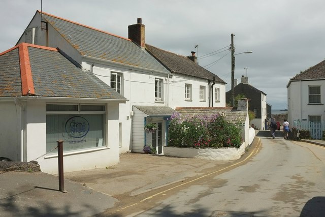
Image: © Derek Harper Taken: 20 Jul 2016
The further of the two houses on the left is listed and described at https://www.historicengland.org.uk/listing/the-list/list-entry/1144783 . Note the little outhouse extension on this side, with its own little stack.
Images are licensed for reuse under creativecommons.org/licenses/by-sa/2.0
Image Location
Latitude
50.240253
Longitude
-4.789322