Lovat Mead and West Marina
Introduction
The photograph on this page of Lovat Mead and West Marina by Patrick Roper as part of the Geograph project.
The Geograph project started in 2005 with the aim of publishing, organising and preserving representative images for every square kilometre of Great Britain, Ireland and the Isle of Man.

There are currently over 7.5m images from over 14,400 individuals and you can help contribute to the project by visiting https://www.geograph.org.uk
Lovat Mead and West Marina
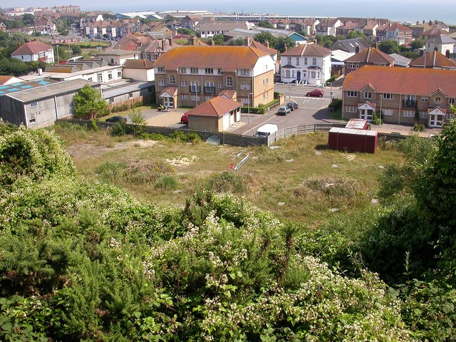
Image: © Patrick Roper Taken: 2 Jul 2004
Taken in 2005 from Harley Shute Road. The flat area of grass and weeds below the cliff scrub has now been developed with blocks of flats. The sea lies in the distance.
Images are licensed for reuse under creativecommons.org/licenses/by-sa/2.0
Image Location
Latitude
50.851856
Longitude
0.527958