A49 Ludlow Road - Craven Arms, Shropshire
Introduction
The photograph on this page of A49 Ludlow Road - Craven Arms, Shropshire by Martin Richard Phelan as part of the Geograph project.
The Geograph project started in 2005 with the aim of publishing, organising and preserving representative images for every square kilometre of Great Britain, Ireland and the Isle of Man.

There are currently over 7.5m images from over 14,400 individuals and you can help contribute to the project by visiting https://www.geograph.org.uk
A49 Ludlow Road - Craven Arms, Shropshire
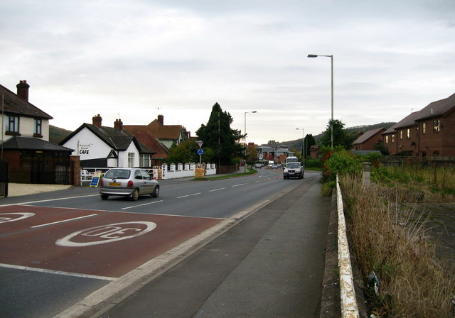
Image: © Martin Richard Phelan Taken: 25 Oct 2008
This view is looking south on the A49 Ludlow - Shrewsbury road at Craven Arms. There has been considerable new building in the town which has changed its appearance since days of childhood. The town was originally just two hamlets, Newington and Newton, and in the 19th century the building of a railway junction brought growth, the town being named after the 17th century Craven Arms Inn. The town has the headquarters of the Shropshire Hills AONB (Area of Outstanding Natural Beauty), the Secret Hills Discovery Centre, the Land of Lost Content museum - I found it a bit melancholic - and not far away to the south stands Stokesay Castle, an English Heritage property. Time taken 9.33 am BST (British Summer Time).
Images are licensed for reuse under creativecommons.org/licenses/by-sa/2.0
Image Location
Latitude
52.444056
Longitude
-2.8362