Highnam Green
Introduction
The photograph on this page of Highnam Green by Richard Webb as part of the Geograph project.
The Geograph project started in 2005 with the aim of publishing, organising and preserving representative images for every square kilometre of Great Britain, Ireland and the Isle of Man.

There are currently over 7.5m images from over 14,400 individuals and you can help contribute to the project by visiting https://www.geograph.org.uk
Highnam Green
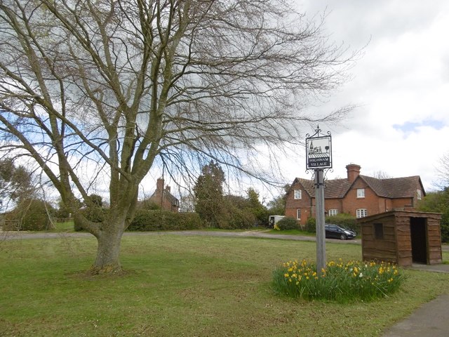
Image: © Richard Webb Taken: 16 Apr 2016
The sign is on the B4215 for the village which starts here.
Images are licensed for reuse under creativecommons.org/licenses/by-sa/2.0
Image Location
Latitude
51.879255
Longitude
-2.302697