Railway underpass and former level crossing
Introduction
The photograph on this page of Railway underpass and former level crossing by Ian Calderwood as part of the Geograph project.
The Geograph project started in 2005 with the aim of publishing, organising and preserving representative images for every square kilometre of Great Britain, Ireland and the Isle of Man.

There are currently over 7.5m images from over 14,400 individuals and you can help contribute to the project by visiting https://www.geograph.org.uk
Railway underpass and former level crossing
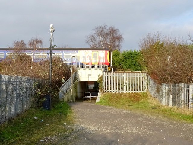
Image: © Ian Calderwood Taken: 7 Dec 2016
The gateway used to lead to a level crossing. An East Midlands Trains DMU is passing over the top.
Images are licensed for reuse under creativecommons.org/licenses/by-sa/2.0
Image Location
Latitude
52.885525
Longitude
-1.294942