Wilmot Street Allotments
Introduction
The photograph on this page of Wilmot Street Allotments by Ian Calderwood as part of the Geograph project.
The Geograph project started in 2005 with the aim of publishing, organising and preserving representative images for every square kilometre of Great Britain, Ireland and the Isle of Man.

There are currently over 7.5m images from over 14,400 individuals and you can help contribute to the project by visiting https://www.geograph.org.uk
Wilmot Street Allotments
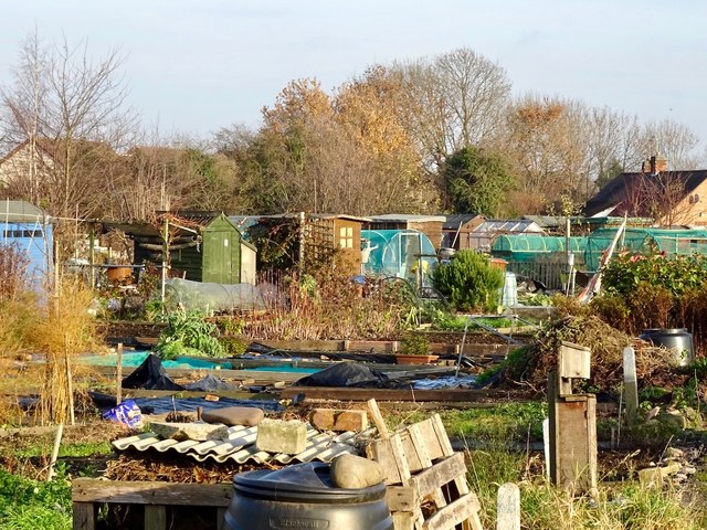
Image: © Ian Calderwood Taken: 7 Dec 2016
The allotments have been here since the 19th century and, therefore, pre-date Wilmot Street, which wasn't built 'til the mid-20th.
Images are licensed for reuse under creativecommons.org/licenses/by-sa/2.0
Image Location
Latitude
52.884981
Longitude
-1.294208