West side of The Mews, Bath Road, Wells
Introduction
The photograph on this page of West side of The Mews, Bath Road, Wells by Jaggery as part of the Geograph project.
The Geograph project started in 2005 with the aim of publishing, organising and preserving representative images for every square kilometre of Great Britain, Ireland and the Isle of Man.

There are currently over 7.5m images from over 14,400 individuals and you can help contribute to the project by visiting https://www.geograph.org.uk
West side of The Mews, Bath Road, Wells
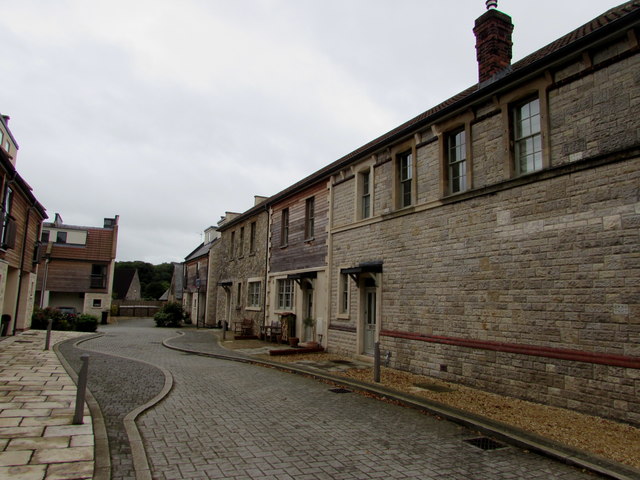
Image: © Jaggery Taken: 27 Sep 2016
21st century housing set back from the south side of Bath Road. A nameplate behind the camera shows THE MEWS/AD 2012/Private Road.
Images are licensed for reuse under creativecommons.org/licenses/by-sa/2.0
Image Location
Latitude
51.213093
Longitude
-2.635889