Old buildings off Lovers Lane
Introduction
The photograph on this page of Old buildings off Lovers Lane by Rose and Trev Clough as part of the Geograph project.
The Geograph project started in 2005 with the aim of publishing, organising and preserving representative images for every square kilometre of Great Britain, Ireland and the Isle of Man.

There are currently over 7.5m images from over 14,400 individuals and you can help contribute to the project by visiting https://www.geograph.org.uk
Old buildings off Lovers Lane
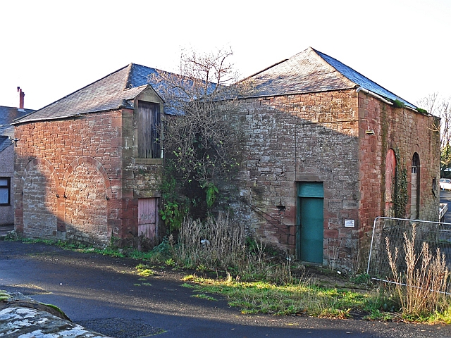
Image: © Rose and Trev Clough Taken: 23 Nov 2016
Possibly remaining from the tweed mill which once occupied land directly to the north west? (Operational in the late 19th century, the mill caught fire a couple of times. It was marked as 'disused' on the 1901 OS map https://www.old-maps.co.uk/#/Map/353295/561048/12/100685 )
Images are licensed for reuse under creativecommons.org/licenses/by-sa/2.0
Image Location
Latitude
54.941642
Longitude
-2.730816