At the end of Clover Hill Road, Skircoat, Halifax
Introduction
The photograph on this page of At the end of Clover Hill Road, Skircoat, Halifax by Humphrey Bolton as part of the Geograph project.
The Geograph project started in 2005 with the aim of publishing, organising and preserving representative images for every square kilometre of Great Britain, Ireland and the Isle of Man.

There are currently over 7.5m images from over 14,400 individuals and you can help contribute to the project by visiting https://www.geograph.org.uk
At the end of Clover Hill Road, Skircoat, Halifax
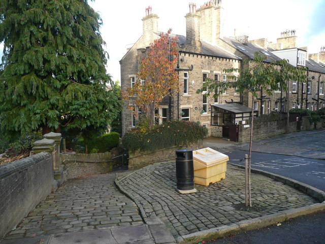
Image: © Humphrey Bolton Taken: 4 Nov 2016
The street to the right is Back Glen View Terrace. Clover Hill was four houses to the right, and was shown on the 1893 1:2500 map but not on the 1905 edition; it made way for late 19C terrace houses. The broad paved footpath on the left goes to Well Head Lane, towards the centre of Halifax.
Images are licensed for reuse under creativecommons.org/licenses/by-sa/2.0
Image Location
Latitude
53.714503
Longitude
-1.866628