Barn Close, Trevethin
Introduction
The photograph on this page of Barn Close, Trevethin by Jaggery as part of the Geograph project.
The Geograph project started in 2005 with the aim of publishing, organising and preserving representative images for every square kilometre of Great Britain, Ireland and the Isle of Man.

There are currently over 7.5m images from over 14,400 individuals and you can help contribute to the project by visiting https://www.geograph.org.uk
Barn Close, Trevethin
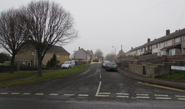
Image: © Jaggery Taken: 5 Dec 2016
Cul-de-sac on the northwest side of Glen View Road. The bilingual name sign on the right shows that Barn Close is Clos y Sgubor in Welsh.
Images are licensed for reuse under creativecommons.org/licenses/by-sa/2.0
Image Location
Latitude
51.717442
Longitude
-3.048545