Whittlesford: West End in December
Introduction
The photograph on this page of Whittlesford: West End in December by John Sutton as part of the Geograph project.
The Geograph project started in 2005 with the aim of publishing, organising and preserving representative images for every square kilometre of Great Britain, Ireland and the Isle of Man.

There are currently over 7.5m images from over 14,400 individuals and you can help contribute to the project by visiting https://www.geograph.org.uk
Whittlesford: West End in December
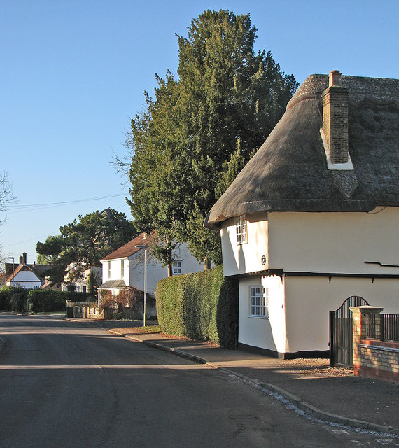
Image: © John Sutton Taken: 4 Dec 2016
The thatched house, Charity Farm, is Grade II listed.
Images are licensed for reuse under creativecommons.org/licenses/by-sa/2.0
Image Location
Latitude
52.111145
Longitude
0.145683