Westway junction in Street, Somerset
Introduction
The photograph on this page of Westway junction in Street, Somerset by Jaggery as part of the Geograph project.
The Geograph project started in 2005 with the aim of publishing, organising and preserving representative images for every square kilometre of Great Britain, Ireland and the Isle of Man.

There are currently over 7.5m images from over 14,400 individuals and you can help contribute to the project by visiting https://www.geograph.org.uk
Westway junction in Street, Somerset
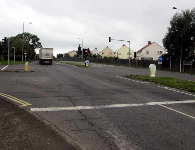
Image: © Jaggery Taken: 27 Sep 2016
The main road is the A39 Westway. Traffic lights control this junction with Farm Road on the left, the way to Clarks Village and the town centre.
Images are licensed for reuse under creativecommons.org/licenses/by-sa/2.0
Image Location
Latitude
51.129732
Longitude
-2.743211