Jesmond Road, Aldrington, Hove
Introduction
The photograph on this page of Jesmond Road, Aldrington, Hove by Simon Carey as part of the Geograph project.
The Geograph project started in 2005 with the aim of publishing, organising and preserving representative images for every square kilometre of Great Britain, Ireland and the Isle of Man.

There are currently over 7.5m images from over 14,400 individuals and you can help contribute to the project by visiting https://www.geograph.org.uk
Jesmond Road, Aldrington, Hove
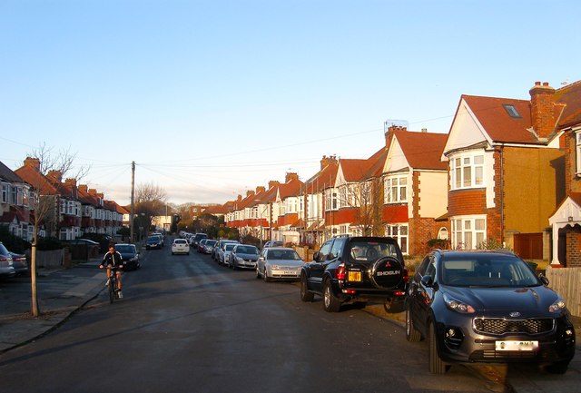
Image: © Simon Carey Taken: 3 Dec 2016
A residential road that heads south from Portland Road joining Rothbury Road at the junction with Mornington Crescent. Originally an open space called Old field in Aldrington's 1840 tithe map both this road and neighbouring Image were not developed until the 1930s.
Images are licensed for reuse under creativecommons.org/licenses/by-sa/2.0
Image Location
Latitude
50.833932
Longitude
-0.197465