Path down to Consett Leisure Centre
Introduction
The photograph on this page of Path down to Consett Leisure Centre by Robert Graham as part of the Geograph project.
The Geograph project started in 2005 with the aim of publishing, organising and preserving representative images for every square kilometre of Great Britain, Ireland and the Isle of Man.

There are currently over 7.5m images from over 14,400 individuals and you can help contribute to the project by visiting https://www.geograph.org.uk
Path down to Consett Leisure Centre
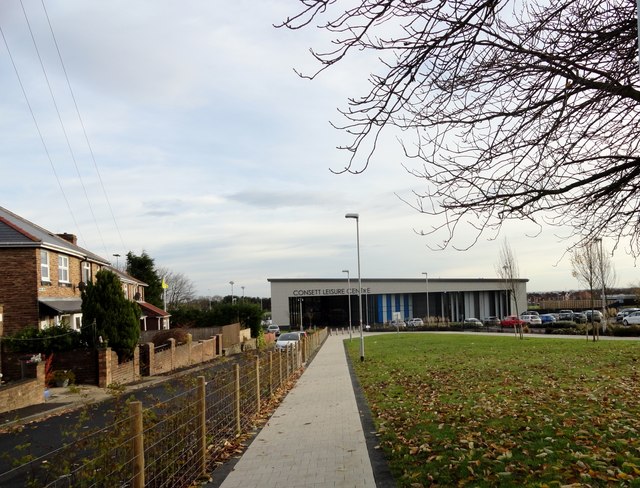
Image: © Robert Graham Taken: 30 Nov 2016
The site here in front of the new leisure centre was previously occupied by Derwentside Council Offices. All demolished two years ago to make way for the new centre which opened in 2015.
Images are licensed for reuse under creativecommons.org/licenses/by-sa/2.0
Image Location


Leaflet Map data © OpenStreetMap
Latitude
54.858353
Longitude
-1.830643