Houses at Heath House
Introduction
The photograph on this page of Houses at Heath House by Nigel Mykura as part of the Geograph project.
The Geograph project started in 2005 with the aim of publishing, organising and preserving representative images for every square kilometre of Great Britain, Ireland and the Isle of Man.

There are currently over 7.5m images from over 14,400 individuals and you can help contribute to the project by visiting https://www.geograph.org.uk
Houses at Heath House
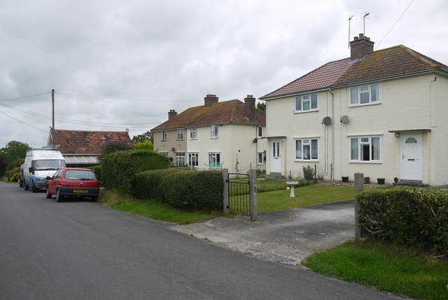
Image: © Nigel Mykura Taken: 5 Aug 2015
These semi-detached houses which look as if they may have been social housing at one time are on the minor road that runs from heat House up to Wedmore.
Images are licensed for reuse under creativecommons.org/licenses/by-sa/2.0
Image Location
Latitude
51.21527
Longitude
-2.833356