St Briavels churchyard
Introduction
The photograph on this page of St Briavels churchyard by Roy Parkhouse as part of the Geograph project.
The Geograph project started in 2005 with the aim of publishing, organising and preserving representative images for every square kilometre of Great Britain, Ireland and the Isle of Man.

There are currently over 7.5m images from over 14,400 individuals and you can help contribute to the project by visiting https://www.geograph.org.uk
St Briavels churchyard
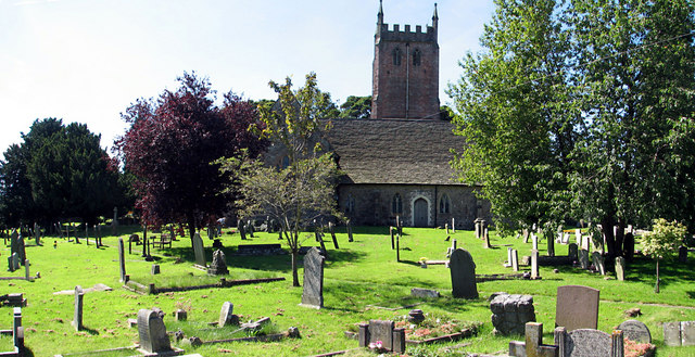
Image: © Roy Parkhouse Taken: 10 Aug 2007
North of the church. A footpath runs left to right across the churchyard to a gate on the Mork Road. See Image
Images are licensed for reuse under creativecommons.org/licenses/by-sa/2.0
Image Location


Leaflet Map data © OpenStreetMap
Latitude
51.738899
Longitude
-2.64035