Bewcastle from the south-east
Introduction
The photograph on this page of Bewcastle from the south-east by Andrew Curtis as part of the Geograph project.
The Geograph project started in 2005 with the aim of publishing, organising and preserving representative images for every square kilometre of Great Britain, Ireland and the Isle of Man.

There are currently over 7.5m images from over 14,400 individuals and you can help contribute to the project by visiting https://www.geograph.org.uk
Bewcastle from the south-east
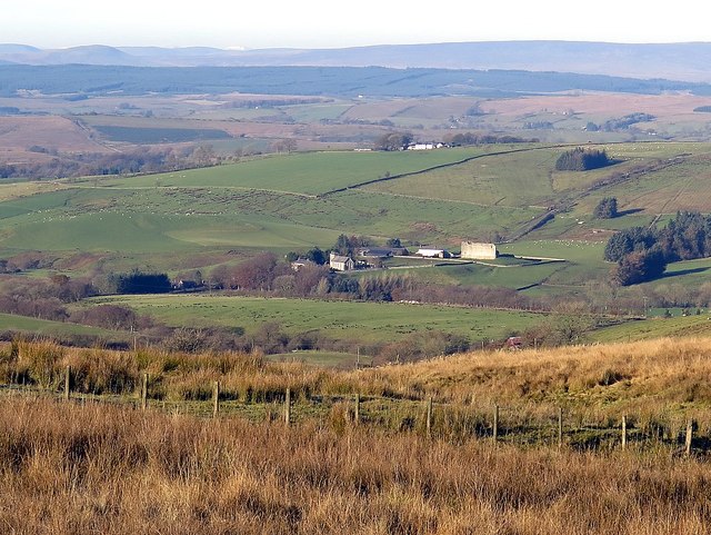
Image: © Andrew Curtis Taken: 25 Nov 2016
Showing the small village of Bewcastle with its main buildings: the Old Rectory, Church of St Cuthbert and remains of Bew Castle close to the Demesme Farm.
Images are licensed for reuse under creativecommons.org/licenses/by-sa/2.0
Image Location
Latitude
55.063512
Longitude
-2.681993