The road into Broughton
Introduction
The photograph on this page of The road into Broughton by Robert Eva as part of the Geograph project.
The Geograph project started in 2005 with the aim of publishing, organising and preserving representative images for every square kilometre of Great Britain, Ireland and the Isle of Man.

There are currently over 7.5m images from over 14,400 individuals and you can help contribute to the project by visiting https://www.geograph.org.uk
The road into Broughton
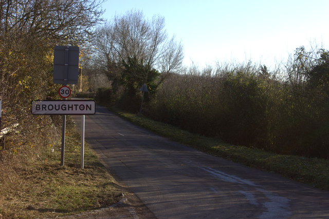
Image: © Robert Eva Taken: 25 Nov 2016
This is the road from Bierton. The sign is just south of the bridge over the Aylesbury Arm of the Grand Union canal. Currently closed to traffic.
Images are licensed for reuse under creativecommons.org/licenses/by-sa/2.0
Image Location
Latitude
51.819717
Longitude
-0.778367