Oatfield Lane west of Radcliffe (1)
Introduction
The photograph on this page of Oatfield Lane west of Radcliffe (1) by Richard Vince as part of the Geograph project.
The Geograph project started in 2005 with the aim of publishing, organising and preserving representative images for every square kilometre of Great Britain, Ireland and the Isle of Man.

There are currently over 7.5m images from over 14,400 individuals and you can help contribute to the project by visiting https://www.geograph.org.uk
Oatfield Lane west of Radcliffe (1)
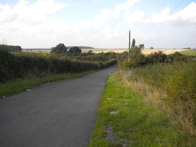
Image: © Richard Vince Taken: 15 Oct 2016
Looking towards Shelford from close to the point where it leaves the A52.
Images are licensed for reuse under creativecommons.org/licenses/by-sa/2.0
Image Location
Latitude
52.952391
Longitude
-1.003758