China Lane
Introduction
The photograph on this page of China Lane by Glyn Baker as part of the Geograph project.
The Geograph project started in 2005 with the aim of publishing, organising and preserving representative images for every square kilometre of Great Britain, Ireland and the Isle of Man.

There are currently over 7.5m images from over 14,400 individuals and you can help contribute to the project by visiting https://www.geograph.org.uk
China Lane
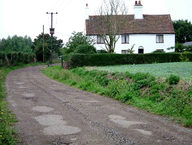
Image: © Glyn Baker Taken: 11 Sep 2005
Slough House on China Lane, a footpath that runs from Fen Lane Bulphan to St Mary’s Lane near West Horndon
Images are licensed for reuse under creativecommons.org/licenses/by-sa/2.0
Image Location
Latitude
51.550276
Longitude
0.348103