Y Lon Gefn/Gray's Inn Road
Introduction
The photograph on this page of Y Lon Gefn/Gray's Inn Road by John Lucas as part of the Geograph project.
The Geograph project started in 2005 with the aim of publishing, organising and preserving representative images for every square kilometre of Great Britain, Ireland and the Isle of Man.

There are currently over 7.5m images from over 14,400 individuals and you can help contribute to the project by visiting https://www.geograph.org.uk
Y Lon Gefn/Gray's Inn Road
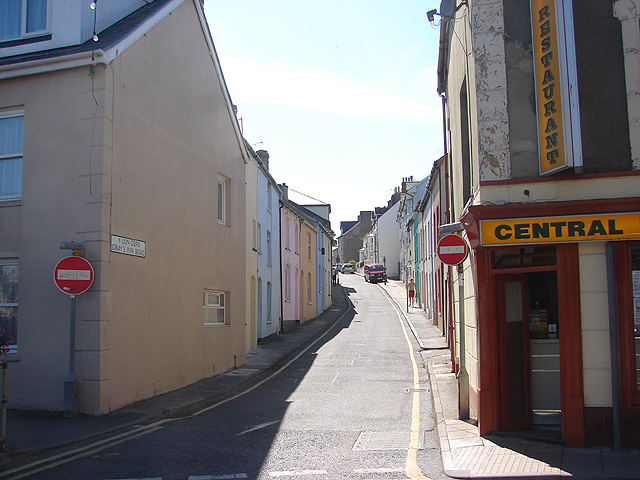
Image: © John Lucas Taken: 9 Aug 2007
Previously called Gray's Inn Lane and before that, Back Lane.
Images are licensed for reuse under creativecommons.org/licenses/by-sa/2.0
Image Location


Leaflet Map data © OpenStreetMap
Latitude
52.413743
Longitude
-4.083644