Footpath in Muchall Park, Wolverhampton
Introduction
The photograph on this page of Footpath in Muchall Park, Wolverhampton by Roger D Kidd as part of the Geograph project.
The Geograph project started in 2005 with the aim of publishing, organising and preserving representative images for every square kilometre of Great Britain, Ireland and the Isle of Man.

There are currently over 7.5m images from over 14,400 individuals and you can help contribute to the project by visiting https://www.geograph.org.uk
Footpath in Muchall Park, Wolverhampton
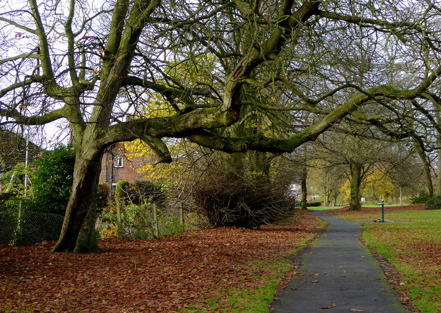
Image: © Roger D Kidd Taken: 24 Nov 2016
Looking towards the A449 Penn Road near the shops and Roebuck public house.
Images are licensed for reuse under creativecommons.org/licenses/by-sa/2.0
Image Location
Latitude
52.56003
Longitude
-2.149826