21 Wartnaby Road, Ab Kettleby
Introduction
The photograph on this page of 21 Wartnaby Road, Ab Kettleby by Alan Murray-Rust as part of the Geograph project.
The Geograph project started in 2005 with the aim of publishing, organising and preserving representative images for every square kilometre of Great Britain, Ireland and the Isle of Man.

There are currently over 7.5m images from over 14,400 individuals and you can help contribute to the project by visiting https://www.geograph.org.uk
21 Wartnaby Road, Ab Kettleby
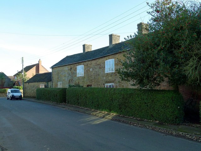
Image: © Alan Murray-Rust Taken: 25 Nov 2016
Former farmhouse, tentatively dated 1626 in the listing, the datestone being now too worn to be legible, with early 19th century extension at the far end. Listed Grade II.
Images are licensed for reuse under creativecommons.org/licenses/by-sa/2.0
Image Location
Latitude
52.799982
Longitude
-0.927741