The Manor House, Ab Kettleby
Introduction
The photograph on this page of The Manor House, Ab Kettleby by Alan Murray-Rust as part of the Geograph project.
The Geograph project started in 2005 with the aim of publishing, organising and preserving representative images for every square kilometre of Great Britain, Ireland and the Isle of Man.

There are currently over 7.5m images from over 14,400 individuals and you can help contribute to the project by visiting https://www.geograph.org.uk
The Manor House, Ab Kettleby
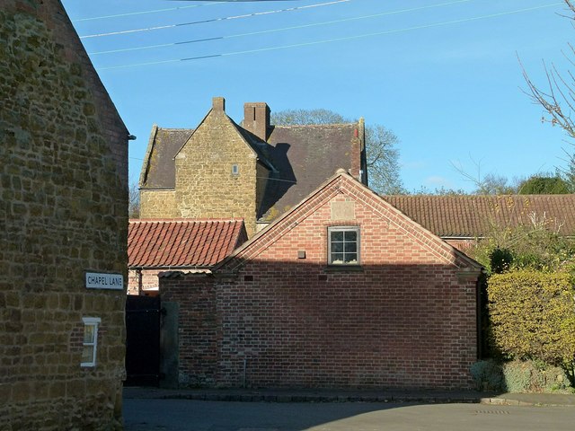
Image: © Alan Murray-Rust Taken: 25 Nov 2016
Early 17th century, possibly the oldest surviving building in the village apart from the church, but sited where there is no possibility of getting a decent view from a public viewpoint. Listed Grade II*.
Images are licensed for reuse under creativecommons.org/licenses/by-sa/2.0
Image Location
Latitude
52.800438
Longitude
-0.928471