Stile near Woodend House
Introduction
The photograph on this page of Stile near Woodend House by Des Blenkinsopp as part of the Geograph project.
The Geograph project started in 2005 with the aim of publishing, organising and preserving representative images for every square kilometre of Great Britain, Ireland and the Isle of Man.

There are currently over 7.5m images from over 14,400 individuals and you can help contribute to the project by visiting https://www.geograph.org.uk
Stile near Woodend House
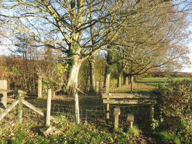
Image: © Des Blenkinsopp Taken: 25 Nov 2016
The map still shows a road between Woodend House and Holme Wood, the house to the north, and that is what you can see mid picture. But that is just a remnant. There is now no way between the two places. The track to the south of here is full of brambles and completely impassable.
Images are licensed for reuse under creativecommons.org/licenses/by-sa/2.0
Image Location
Latitude
51.587528
Longitude
-0.828773