Fields in Trust
Introduction
The photograph on this page of Fields in Trust by Neil Owen as part of the Geograph project.
The Geograph project started in 2005 with the aim of publishing, organising and preserving representative images for every square kilometre of Great Britain, Ireland and the Isle of Man.

There are currently over 7.5m images from over 14,400 individuals and you can help contribute to the project by visiting https://www.geograph.org.uk
Fields in Trust
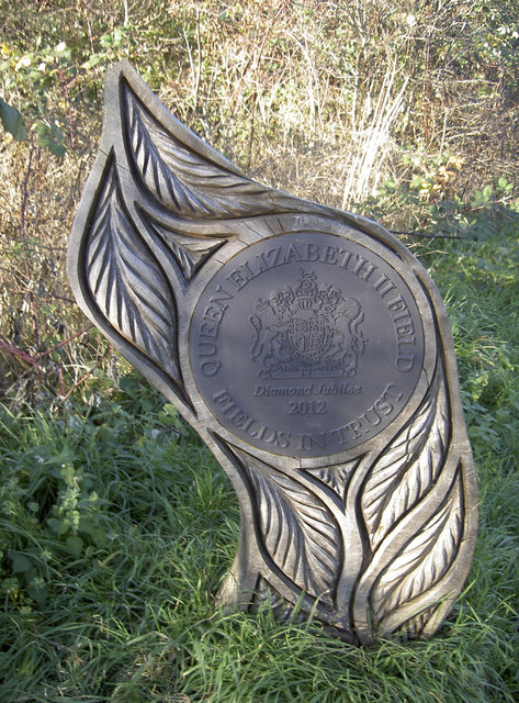
Image: © Neil Owen Taken: 28 Nov 2016
An elaborately carved marker, explaining that the common is designated as Fields in Trust, 2012. Hopefully it will remain so even if the proposed roads that were started but never finished are finally to be built here.
Images are licensed for reuse under creativecommons.org/licenses/by-sa/2.0
Image Location
Latitude
51.530526
Longitude
-2.433579