Gates to the Common
Introduction
The photograph on this page of Gates to the Common by Neil Owen as part of the Geograph project.
The Geograph project started in 2005 with the aim of publishing, organising and preserving representative images for every square kilometre of Great Britain, Ireland and the Isle of Man.

There are currently over 7.5m images from over 14,400 individuals and you can help contribute to the project by visiting https://www.geograph.org.uk
Gates to the Common
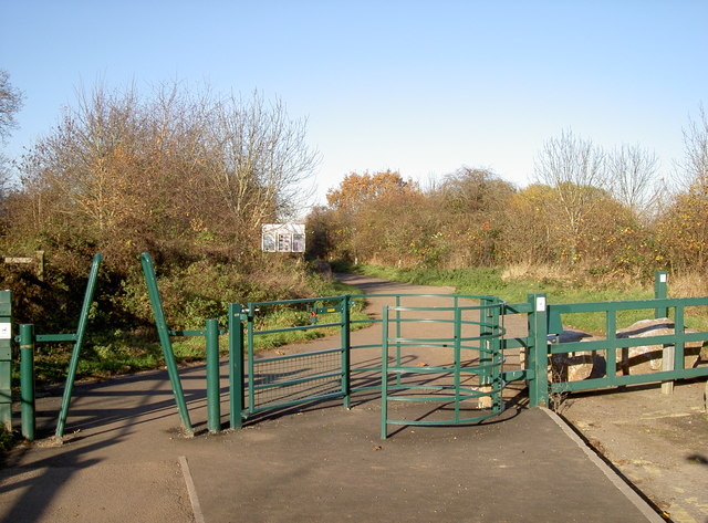
Image: © Neil Owen Taken: 28 Nov 2016
Yate Common, with some hefty ironmongery to prevent unwanted vehicular access. This was to have been the end of a dual carriageway leading from the roundabout, but the plans and the money were found insufficient before work finished - hence it is a peaceful path.
Images are licensed for reuse under creativecommons.org/licenses/by-sa/2.0
Image Location
Latitude
51.530256
Longitude
-2.433577