Totteridge Lane N20
Introduction
The photograph on this page of Totteridge Lane N20 by JThomas as part of the Geograph project.
The Geograph project started in 2005 with the aim of publishing, organising and preserving representative images for every square kilometre of Great Britain, Ireland and the Isle of Man.

There are currently over 7.5m images from over 14,400 individuals and you can help contribute to the project by visiting https://www.geograph.org.uk
Totteridge Lane N20
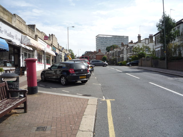
Image: © JThomas Taken: 3 Sep 2016
Showing position of Postbox No. N20 18. See Image] for postbox.
Images are licensed for reuse under creativecommons.org/licenses/by-sa/2.0
Image Location
Latitude
51.630164
Longitude
-0.178664