Former Council Offices, Wetheral - November 2016
Introduction
The photograph on this page of Former Council Offices, Wetheral - November 2016 by The Carlisle Kid as part of the Geograph project.
The Geograph project started in 2005 with the aim of publishing, organising and preserving representative images for every square kilometre of Great Britain, Ireland and the Isle of Man.

There are currently over 7.5m images from over 14,400 individuals and you can help contribute to the project by visiting https://www.geograph.org.uk
Former Council Offices, Wetheral - November 2016
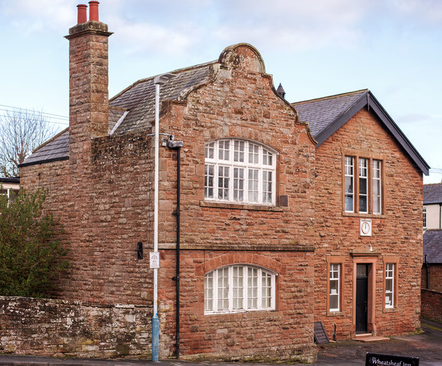
Image: © The Carlisle Kid Taken: 28 Nov 2016
Dated 1891 and marked on the OS Map as "Council Offices", this building appears to be out of use - although still in good internal condition.
Images are licensed for reuse under creativecommons.org/licenses/by-sa/2.0
Image Location
Latitude
54.880574
Longitude
-2.83601