Red Lion crossroads, Barnes
Introduction
The photograph on this page of Red Lion crossroads, Barnes by Oliver Dixon as part of the Geograph project.
The Geograph project started in 2005 with the aim of publishing, organising and preserving representative images for every square kilometre of Great Britain, Ireland and the Isle of Man.

There are currently over 7.5m images from over 14,400 individuals and you can help contribute to the project by visiting https://www.geograph.org.uk
Red Lion crossroads, Barnes
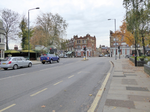
Image: © Oliver Dixon Taken: 23 Nov 2016
Looking from Castlenau (A306) towards the Red Lion crossroads. From left to right the streets are Queen Elizabeth Walk (hidden), Rocks Lane (A306), Elm Grove Road, Church Road (A3003) which continues on to Barnes High Street.
Images are licensed for reuse under creativecommons.org/licenses/by-sa/2.0
Image Location
Latitude
51.475226
Longitude
-0.239403