Woodfield - Ashtead Common
Introduction
The photograph on this page of Woodfield - Ashtead Common by Roger Miller as part of the Geograph project.
The Geograph project started in 2005 with the aim of publishing, organising and preserving representative images for every square kilometre of Great Britain, Ireland and the Isle of Man.

There are currently over 7.5m images from over 14,400 individuals and you can help contribute to the project by visiting https://www.geograph.org.uk
Woodfield - Ashtead Common
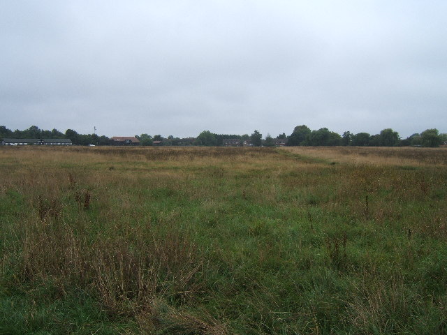
Image: © Roger Miller Taken: 11 Sep 2005
Woodfield is now being managed as a hay meadow. Grass and flowers are removed after mowing. This removes nutrients and helps increase wildflower diversity.
Images are licensed for reuse under creativecommons.org/licenses/by-sa/2.0
Image Location
Latitude
51.322478
Longitude
-0.315152