Farmland in the Girvan Valley
Introduction
The photograph on this page of Farmland in the Girvan Valley by Mary and Angus Hogg as part of the Geograph project.
The Geograph project started in 2005 with the aim of publishing, organising and preserving representative images for every square kilometre of Great Britain, Ireland and the Isle of Man.

There are currently over 7.5m images from over 14,400 individuals and you can help contribute to the project by visiting https://www.geograph.org.uk
Farmland in the Girvan Valley
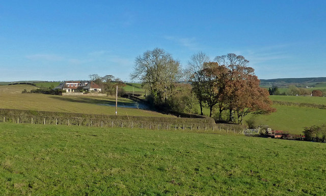
Image: © Mary and Angus Hogg Taken: 24 Nov 2016
Rolling farmland in the Girvan Valley viewed in late November The rolling countryside was shaped by drumlins, deposited during the last Ice Age.
Images are licensed for reuse under creativecommons.org/licenses/by-sa/2.0
Image Location
Latitude
55.327554
Longitude
-4.658064