Marion Crescent
Introduction
The photograph on this page of Marion Crescent by Ian Capper as part of the Geograph project.
The Geograph project started in 2005 with the aim of publishing, organising and preserving representative images for every square kilometre of Great Britain, Ireland and the Isle of Man.

There are currently over 7.5m images from over 14,400 individuals and you can help contribute to the project by visiting https://www.geograph.org.uk
Marion Crescent
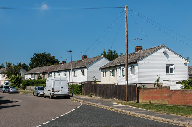
Image: © Ian Capper Taken: 17 Aug 2016
Post war housing in Marion Crescent, built on what was part of the original Poverest Road before that name was transferred to a new more direct road on the line of a former footpath (see Image).
Images are licensed for reuse under creativecommons.org/licenses/by-sa/2.0
Image Location
Latitude
51.390804
Longitude
0.106131