Interpretation panel by the shore at Rhu
Introduction
The photograph on this page of Interpretation panel by the shore at Rhu by Lairich Rig as part of the Geograph project.
The Geograph project started in 2005 with the aim of publishing, organising and preserving representative images for every square kilometre of Great Britain, Ireland and the Isle of Man.

There are currently over 7.5m images from over 14,400 individuals and you can help contribute to the project by visiting https://www.geograph.org.uk
Interpretation panel by the shore at Rhu
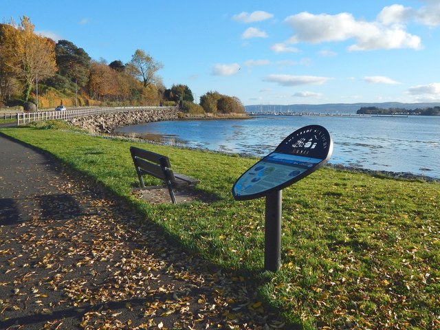
Image: © Lairich Rig Taken: 1 Nov 2016
Several panels like this one had recently been installed at points along the Clyde Sea Lochs Trail. The text on this one is about Rhu. Rhu Marina can be seen in the background.
Images are licensed for reuse under creativecommons.org/licenses/by-sa/2.0
Image Location
Latitude
56.016216
Longitude
-4.778538