Sarratt Lane
Introduction
The photograph on this page of Sarratt Lane by Robin Webster as part of the Geograph project.
The Geograph project started in 2005 with the aim of publishing, organising and preserving representative images for every square kilometre of Great Britain, Ireland and the Isle of Man.

There are currently over 7.5m images from over 14,400 individuals and you can help contribute to the project by visiting https://www.geograph.org.uk
Sarratt Lane
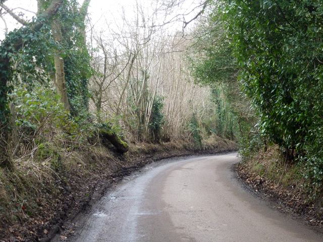
Image: © Robin Webster Taken: 25 Jan 2015
Within the Loudwater 30 mph zone, but yet with country on the left, although there are houses behind the hedge to the right.
Images are licensed for reuse under creativecommons.org/licenses/by-sa/2.0
Image Location
Latitude
51.660796
Longitude
-0.481918