St Briavels church from Church Farm
Introduction
The photograph on this page of St Briavels church from Church Farm by Roy Parkhouse as part of the Geograph project.
The Geograph project started in 2005 with the aim of publishing, organising and preserving representative images for every square kilometre of Great Britain, Ireland and the Isle of Man.

There are currently over 7.5m images from over 14,400 individuals and you can help contribute to the project by visiting https://www.geograph.org.uk
St Briavels church from Church Farm
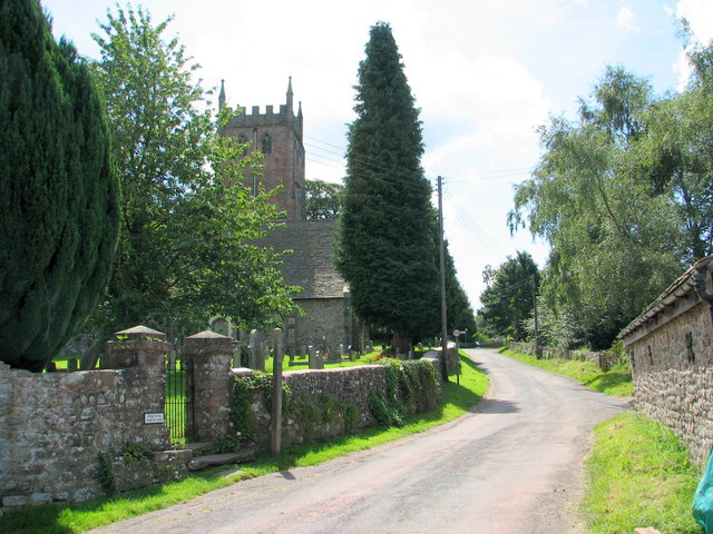
Image: © Roy Parkhouse Taken: 9 Aug 2007
From the Mork Road outside Church Farm. The gate into the churchyard can be seen on the left.
Images are licensed for reuse under creativecommons.org/licenses/by-sa/2.0
Image Location
Latitude
51.738897
Longitude
-2.640639