Newcastle-under-Lyme: Brampton Sidings
Introduction
The photograph on this page of Newcastle-under-Lyme: Brampton Sidings by Jonathan Hutchins as part of the Geograph project.
The Geograph project started in 2005 with the aim of publishing, organising and preserving representative images for every square kilometre of Great Britain, Ireland and the Isle of Man.

There are currently over 7.5m images from over 14,400 individuals and you can help contribute to the project by visiting https://www.geograph.org.uk
Newcastle-under-Lyme: Brampton Sidings
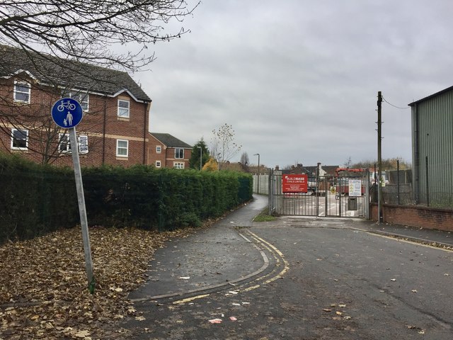
Image: © Jonathan Hutchins Taken: 20 Nov 2016
This is the dead-end of Brampton Sidings, but a path continues on to meet the A34. It is also a National Cycle Route. This is more or less the route of the long-gone Newcastle-Market Drayton railway line, as the road's name 'Sidings' suggests.
Images are licensed for reuse under creativecommons.org/licenses/by-sa/2.0
Image Location
Latitude
53.016482
Longitude
-2.228171