Field descending towards farm at Spring Well
Introduction
The photograph on this page of Field descending towards farm at Spring Well by Trevor Littlewood as part of the Geograph project.
The Geograph project started in 2005 with the aim of publishing, organising and preserving representative images for every square kilometre of Great Britain, Ireland and the Isle of Man.

There are currently over 7.5m images from over 14,400 individuals and you can help contribute to the project by visiting https://www.geograph.org.uk
Field descending towards farm at Spring Well
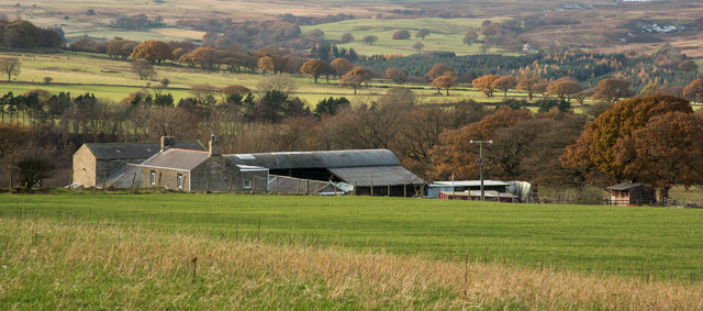
Image: © Trevor Littlewood Taken: 20 Nov 2016
Spring Well and its farmland are in the area named as Healeyfield, near to Consett and Castleside in County Durham. There's a number of stream grooves in view in the image Horsleyhope Burn is immediately to the left of the farm; Hisehope Burn and the River Derwent lie beyond.
Images are licensed for reuse under creativecommons.org/licenses/by-sa/2.0
Image Location


Leaflet Map data © OpenStreetMap
Latitude
54.828234
Longitude
-1.898324