The Staffordshire & Worcestershire Canal south of Marsh Lane Bridge
Introduction
The photograph on this page of The Staffordshire & Worcestershire Canal south of Marsh Lane Bridge by Bill Boaden as part of the Geograph project.
The Geograph project started in 2005 with the aim of publishing, organising and preserving representative images for every square kilometre of Great Britain, Ireland and the Isle of Man.

There are currently over 7.5m images from over 14,400 individuals and you can help contribute to the project by visiting https://www.geograph.org.uk
The Staffordshire & Worcestershire Canal south of Marsh Lane Bridge
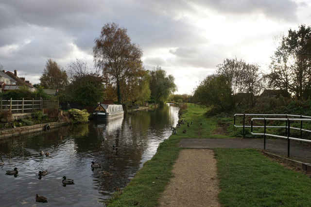
Image: © Bill Boaden Taken: 10 Nov 2016
After The Narrows to the north, the canal broadens out again. There is a large congregation of ducks.
Images are licensed for reuse under creativecommons.org/licenses/by-sa/2.0
Image Location
Latitude
52.625847
Longitude
-2.140005