Footpath to The Rath, Rudbaxton
Introduction
The photograph on this page of Footpath to The Rath, Rudbaxton by Humphrey Bolton as part of the Geograph project.
The Geograph project started in 2005 with the aim of publishing, organising and preserving representative images for every square kilometre of Great Britain, Ireland and the Isle of Man.

There are currently over 7.5m images from over 14,400 individuals and you can help contribute to the project by visiting https://www.geograph.org.uk
Footpath to The Rath, Rudbaxton
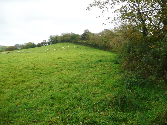
Image: © Humphrey Bolton Taken: 27 Oct 2016
There is no signpost, but the map shows a public footpath going up to the entrance to the hillfort. There is just room to park a small car on the verge next to the gate.
Images are licensed for reuse under creativecommons.org/licenses/by-sa/2.0
Image Location
Latitude
51.833294
Longitude
-4.928101