Field near Goodhouses Farm
Introduction
The photograph on this page of Field near Goodhouses Farm by Jonathan Thacker as part of the Geograph project.
The Geograph project started in 2005 with the aim of publishing, organising and preserving representative images for every square kilometre of Great Britain, Ireland and the Isle of Man.

There are currently over 7.5m images from over 14,400 individuals and you can help contribute to the project by visiting https://www.geograph.org.uk
Field near Goodhouses Farm
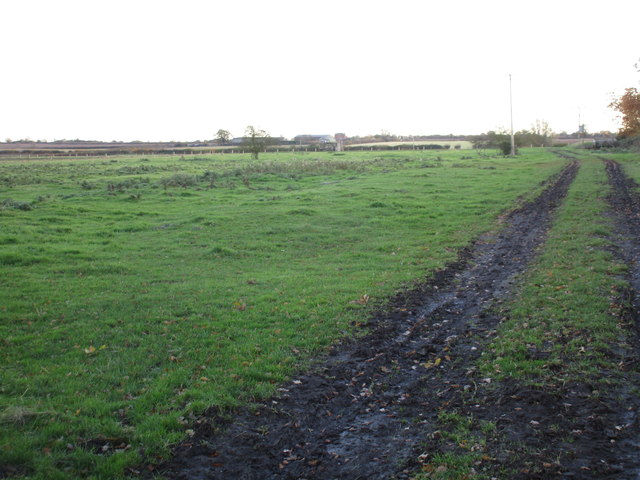
Image: © Jonathan Thacker Taken: 18 Nov 2016
The ridges in the field on the left appear to be a remnant of strip farming when seen in aerial photographs. This is at the extreme western end of the parish of Fledborough and was once attached to the now deserted village of Woodcotes.
Images are licensed for reuse under creativecommons.org/licenses/by-sa/2.0
Image Location
Latitude
53.236172
Longitude
-0.861586