Englefield Crescent
Introduction
The photograph on this page of Englefield Crescent by Ian Capper as part of the Geograph project.
The Geograph project started in 2005 with the aim of publishing, organising and preserving representative images for every square kilometre of Great Britain, Ireland and the Isle of Man.

There are currently over 7.5m images from over 14,400 individuals and you can help contribute to the project by visiting https://www.geograph.org.uk
Englefield Crescent
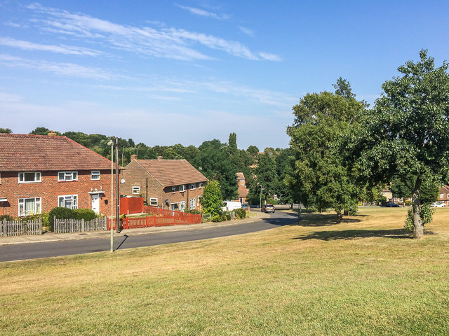
Image: © Ian Capper Taken: 14 Sep 2016
Late 1940s housing at the western end of Tillingbourne Green. Prior to development, old maps show this area, including the open land, to have been woodland.
Images are licensed for reuse under creativecommons.org/licenses/by-sa/2.0
Image Location
Latitude
51.392895
Longitude
0.099859