Wheat by Lake Hill Cottages
Introduction
The photograph on this page of Wheat by Lake Hill Cottages by Derek Harper as part of the Geograph project.
The Geograph project started in 2005 with the aim of publishing, organising and preserving representative images for every square kilometre of Great Britain, Ireland and the Isle of Man.

There are currently over 7.5m images from over 14,400 individuals and you can help contribute to the project by visiting https://www.geograph.org.uk
Wheat by Lake Hill Cottages
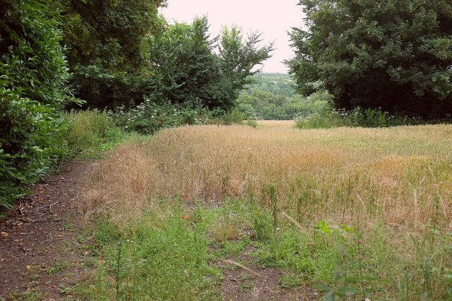
Image: © Derek Harper Taken: 17 Jul 2016
From the road from Upper Woodford. Bridleway WCLA 6 runs along the belt of trees through which there is an opening revealing the Avon valley.
Images are licensed for reuse under creativecommons.org/licenses/by-sa/2.0
Image Location
Latitude
51.145973
Longitude
-1.812533