West side of The Holloway, Droitwich
Introduction
The photograph on this page of West side of The Holloway, Droitwich by Jaggery as part of the Geograph project.
The Geograph project started in 2005 with the aim of publishing, organising and preserving representative images for every square kilometre of Great Britain, Ireland and the Isle of Man.

There are currently over 7.5m images from over 14,400 individuals and you can help contribute to the project by visiting https://www.geograph.org.uk
West side of The Holloway, Droitwich
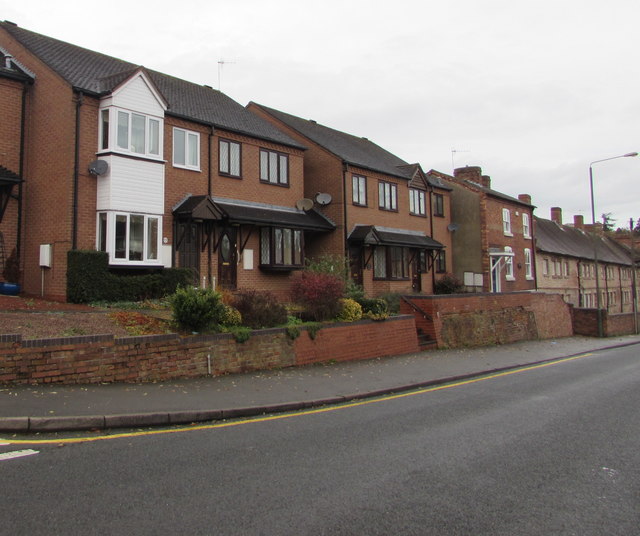
Image: © Jaggery Taken: 16 Nov 2016
Modern houses are on the left. The 17th century Coventry Hospital almshouses http://www.geograph.org.uk/photo/5196736 are on the right.
Images are licensed for reuse under creativecommons.org/licenses/by-sa/2.0
Image Location
Latitude
52.267501
Longitude
-2.143267