St David's Church. Tumble
Introduction
The photograph on this page of St David's Church. Tumble by Humphrey Bolton as part of the Geograph project.
The Geograph project started in 2005 with the aim of publishing, organising and preserving representative images for every square kilometre of Great Britain, Ireland and the Isle of Man.

There are currently over 7.5m images from over 14,400 individuals and you can help contribute to the project by visiting https://www.geograph.org.uk
St David's Church. Tumble
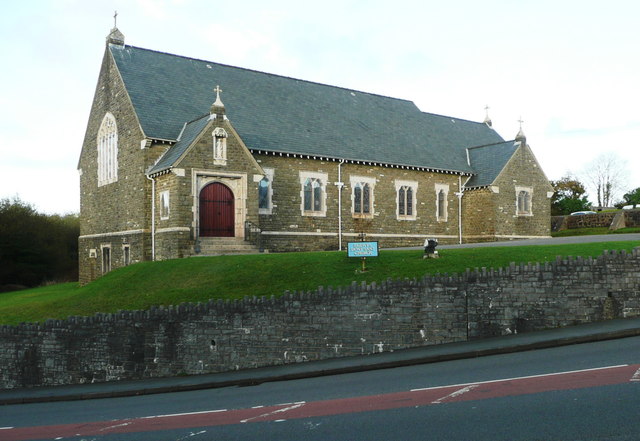
Image: © Humphrey Bolton Taken: 26 Oct 2016
"Dewi Sant was built in 1926-7. The church was built to the designs of William Griffiths and was raised by miners during the General strike." (from https://www.seearoundbritain.com/venues/tumble-st-davids-church-open-daily-free-entry )
Images are licensed for reuse under creativecommons.org/licenses/by-sa/2.0
Image Location


Leaflet Map data © OpenStreetMap
Latitude
51.786498
Longitude
-4.116806