Newcastle-under-Lyme: Premier Inn and Brewers Fayre on A34
Introduction
The photograph on this page of Newcastle-under-Lyme: Premier Inn and Brewers Fayre on A34 by Jonathan Hutchins as part of the Geograph project.
The Geograph project started in 2005 with the aim of publishing, organising and preserving representative images for every square kilometre of Great Britain, Ireland and the Isle of Man.

There are currently over 7.5m images from over 14,400 individuals and you can help contribute to the project by visiting https://www.geograph.org.uk
Newcastle-under-Lyme: Premier Inn and Brewers Fayre on A34
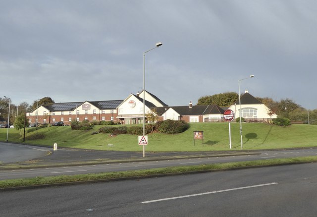
Image: © Jonathan Hutchins Taken: 13 Nov 2016
The Redwood Brewers Fayre was formerly a Taybarns restaurant until all Taybarns were closed and converted to Brewers Fayre pub restaurants in 2016. A photo of these two when the Brewers Fayre was a Taybarns can be seen here http://www.geograph.org.uk/photo/2719912
Images are licensed for reuse under creativecommons.org/licenses/by-sa/2.0
Image Location
Latitude
53.050874
Longitude
-2.246403