House and lane, Breamore
Introduction
The photograph on this page of House and lane, Breamore by Derek Harper as part of the Geograph project.
The Geograph project started in 2005 with the aim of publishing, organising and preserving representative images for every square kilometre of Great Britain, Ireland and the Isle of Man.

There are currently over 7.5m images from over 14,400 individuals and you can help contribute to the project by visiting https://www.geograph.org.uk
House and lane, Breamore
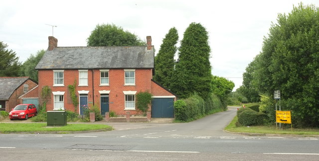
Image: © Derek Harper Taken: 16 Jul 2016
Looking across the A338. The lane leads to other parts of this scattered village, including, as the signs on the right indicate, Breamore House, and a classic car show taking place the following day, in which the vehicle shown in Image doubtless took part.
Images are licensed for reuse under creativecommons.org/licenses/by-sa/2.0
Image Location
Latitude
50.961299
Longitude
-1.775543