Suburban Bournemouth
Introduction
The photograph on this page of Suburban Bournemouth by Chris Downer as part of the Geograph project.
The Geograph project started in 2005 with the aim of publishing, organising and preserving representative images for every square kilometre of Great Britain, Ireland and the Isle of Man.

There are currently over 7.5m images from over 14,400 individuals and you can help contribute to the project by visiting https://www.geograph.org.uk
Suburban Bournemouth
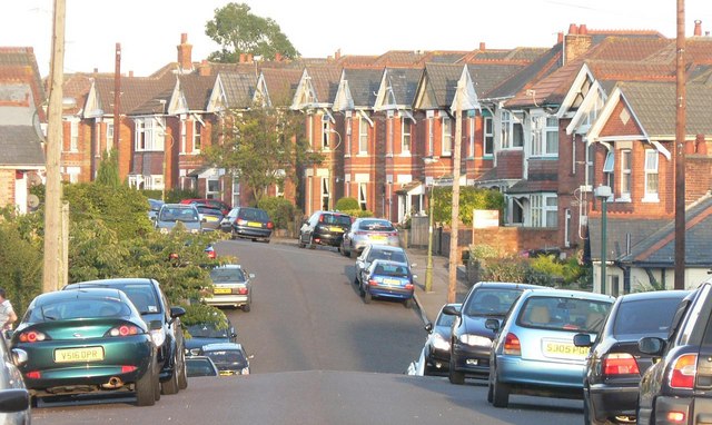
Image: © Chris Downer Taken: 8 Aug 2007
This is Strouden Road, Winton – a typical Bournemouth suburban street. In the dip, Ripon Road crosses it.
Images are licensed for reuse under creativecommons.org/licenses/by-sa/2.0
Image Location
Latitude
50.746522
Longitude
-1.869834