East Wickham Open Space
Introduction
The photograph on this page of East Wickham Open Space by Marathon as part of the Geograph project.
The Geograph project started in 2005 with the aim of publishing, organising and preserving representative images for every square kilometre of Great Britain, Ireland and the Isle of Man.

There are currently over 7.5m images from over 14,400 individuals and you can help contribute to the project by visiting https://www.geograph.org.uk
East Wickham Open Space
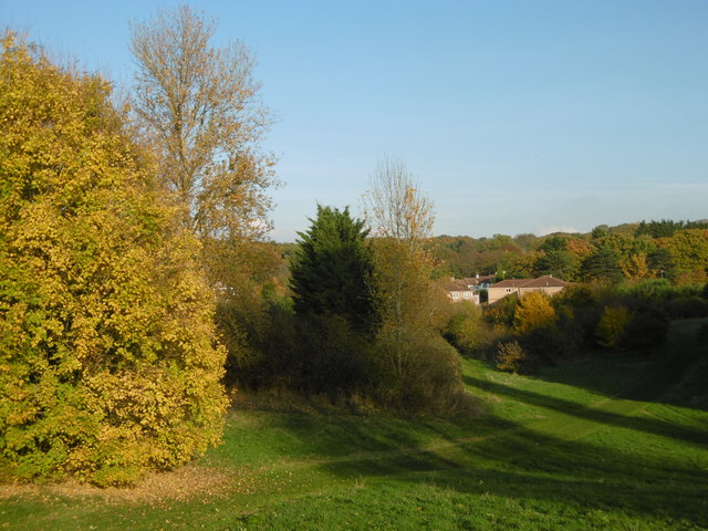
Image: © Marathon Taken: 11 Nov 2016
Considering it was mid November, the autumn tints were yet to fully develop and many trees still had most of their leaves. This view from East Wickham Open Space looks across the Wickham Valley to Bostall Woods on the other side.
Images are licensed for reuse under creativecommons.org/licenses/by-sa/2.0
Image Location
Latitude
51.475167
Longitude
0.107638