West end of Spindle Lane, south of Calverton
Introduction
The photograph on this page of West end of Spindle Lane, south of Calverton by Richard Vince as part of the Geograph project.
The Geograph project started in 2005 with the aim of publishing, organising and preserving representative images for every square kilometre of Great Britain, Ireland and the Isle of Man.

There are currently over 7.5m images from over 14,400 individuals and you can help contribute to the project by visiting https://www.geograph.org.uk
West end of Spindle Lane, south of Calverton
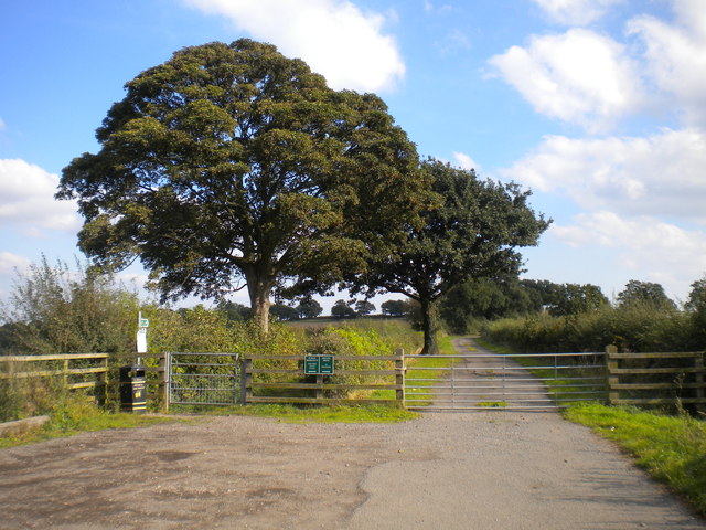
Image: © Richard Vince Taken: 4 Oct 2016
There are actually two lanes running parallel east of here: a public bridleway on the left, and a private drive to Woodborough Park Farm on the right.
Images are licensed for reuse under creativecommons.org/licenses/by-sa/2.0
Image Location
Latitude
53.029239
Longitude
-1.103979